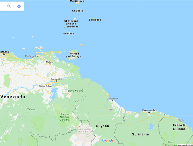
Although Guyana hasn't had any recent volcano activity, Kick 'em Jenny is a submarine volcano in the Caribbean Sea north of Grenada. The image below shows Grenada, towards the top of the map, right off the coast of Georgetown Guyana.
Kick 'em Jenny is the only live volcano in the Eastern Caribbean and sits about 180m below the surface of the sea. Kick 'em Jenny has erupted a total of 14 times and its most recent eruption was recorded in April 2017. This submarine volcano was discovered in 1939 so it is about 78 years old. As noted earlier, Guyana has not had any recent volcanoes but Kick 'em Jenny can pose a major threat if it erupts, it can cause a massive tsunami that can ruin the communities around Guyana including Georgetown.
If Kick 'em Jenny erupts, the proper steps will be taken to ensure the safe evacuation of anyone in the path of destruction due to The Seismic research Unit. The monitoring system was created to detect the symptoms of a volcanic eruption before it happens. This monitoring and warning system was created just for the submarine volcano kick 'em Jenny surprisingly. It intelsa network of of seismometers (to detect earthquakes), tide gauges (to detect water disturbances), hydrophones (to detect submarine explosions), and tiltmeters and GPS stations to detect ground deformation.
These alert levels in the Caribbean have been set by a commit which includes the professional scientific knowledge of the Commonwealth Caribbean region.
These alert levels include:
- Green - Volcano is quiet and no other unusual activity is detected. Maintain basic monitoring system.
- Yellow - Seismic and/or fumarolic activity are above the historical level.Civil authorities will be notified and communication system is tested.
- Orange - Highly elevated level of seismicity and/or fumarolic activity or other unusual activity. All regional governments are alerted through Disaster Coordinators and Venezuelan diplomatic missions.
- Red - Eruption is in progress or may begin without further warning. Measurements within the exclusion zones as permitted by activity. Aerial reconnaissance whenever possible.
Citations:
Seismic research Centre. “Tsunamis in the Caribbean.” The University of the West Indies Seismic Research Centre, uwiseismic.com/general.aspx?id=20.
“Grenada- Kick 'em Jenny Alert Levels.” The University of the West Indies Seismic Research Centre, uwiseismic.com/General.aspx?id=54.
Great entry. It is incredible how sometimes the most hazardous event is underwater.....
ReplyDelete